
Skyline Nav AI Helps Drones Navigate Without GPS
Massachusetts company Skyline Nav AI uses cameras and sensors to guide aircraft when GPS signals are blocked or disrupted
Since it first began to be widely adopted for commercial use in the 1980s, GPS technology has become ubiquitous, helping to facilitate the transportation of everything from passenger cars, to oceangoing ships, to drones.
But what happens when GPS signals are disrupted, by tall buildings, geological formations or by the deliberate use of jamming or spoofing technology by hostile actors?
That question led to the founding six years ago of Skyline Nav AI, a Boston area-based startup that produces low-cost GPS-independent visual positioning and navigation software for use in the defense and public safety sectors.
“GPS is a single point of failure in our modern society, and the blue dots that we get from the satellites, they’re very easy to jam and spoof,” Kanwar Singh, the company’s CEO, said in an interview. “The old technologies that we’d had as a society, as a country, as a civilization, were just not effective as they used to be.”
Singh, who serves as a captain in the Army National Guard in Massachusetts, observed the limitations of GPS technology in hot spots across the globe. He launched the company in 2020, after receiving a call from the Pentagon, seeking a solution to the growing problem of America’s adversaries disrupting the GPS signals of U.S. weapons systems.
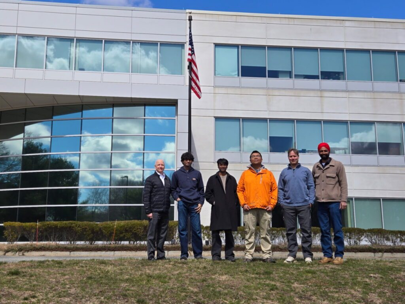
“And at that time, we had never heard of this problem of GPS jamming that was happening. Now, this problem was quite significant in the wars in the Middle East, both Iraq and Afghanistan, but it was not publicly reported at the time,” he said.
With the evolution of battlefield tactics, which have come to increasingly rely on drone technology in conflicts from Ukraine to Iran, the problem of GPS-denial attacks has become even more acute.
“When the Ukraine war kicked off, GPS jamming became more critical, especially for the Ukrainian forces,” Singh said. “So that’s where we pivoted as a company into drones, but also GPS-independence for drones.”
Since its launch, Skyline has attracted a number of customers in the military, research and public safety sectors interested in its products designed to work in GPS-denied environments. Some of its customers include the U.S. Air Force, NASA, U.S. Army, BAE Systems, Kearfott Corporation, MassChallenge, MIT and Cornell University.
Non-GPS software and hardware solutions
The company’s drone-guidance technology deploys onboard cameras that scan the ground and inertial sensors that can determine the UAV’s location and flight path, dozens or hundreds of miles away from the operator. Skyline’s flagship Pathfinder series of products provides advanced computer vision and machine learning features in a lightweight, affordable unit.
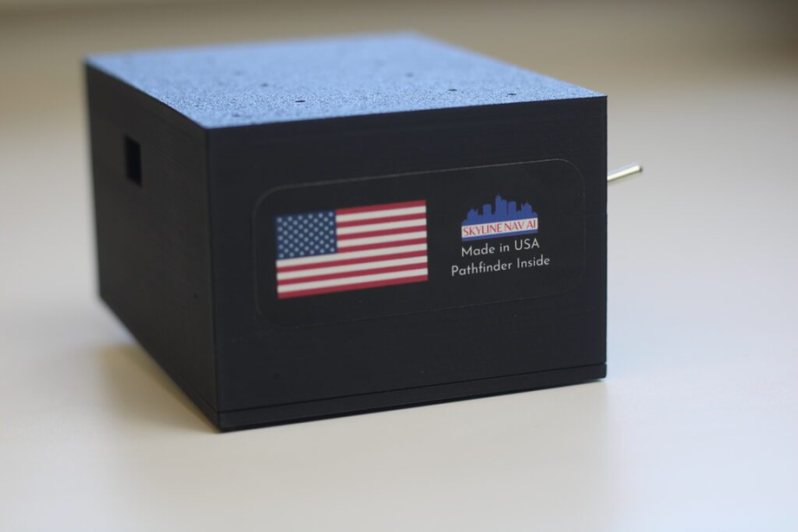
“With Pathfinder, we are able to make a dumb drone smart,” Singh said.
“Pathfinder comes in software but also hardware. On the software side, companies and organizations license it from us, and they put it on their platforms,” he said. “And on the hardware side, we have created a plug-and-play module that you can easily connect to a drone or aircraft or even ground platform, and then we are able to provide the location based on that.”
From its Massachusetts manufacturing facility, the company is able to produce 10,000 Pathfinder units a month, at a per-unit price as low as $1,000. Singh said the company eventually plans to grow its manufacturing capability, but currently is taking a go-slow approach to expansion.
“We don’t want to just grow for growth’s sake. We are deliberate about who we do business with, because there’s also the risk of our technology ending up in the wrong hands,” he said.
With its roots in the defense sector, the company prides itself on using U.S.-made components whenever possible, even though these tend to more expensive than foreign-made materials. Skyline has worked to establish a secure value chain to obtain components that are compliant with National Defense Authorization Act (NDAA) requirements.
“The problem ends up being the lead times. There’re still long lead times in certain items like computers or cameras or inertial sensors, but we have different suppliers who help us get that,” Singh said. “Unless the customers want us to work with cheaper parts, then we can also do that, but our preference is for NDAA compliance.”
In military applications, Skyline’s technology has been used for targeting and tracking in GPS-denied locations. On the commercial side it can provide precise latitude and longitude data in environments where GPS coverage is spotty, from mountainous rural terrain to the concrete canyons of urban centers.
“At a high level, what we do with our technology is we can help you navigate without GPS but then also help you get from point A to point B using cameras,” similar to the way in which Waymo and Tesla use camera systems to guide their terrestrial vehicles. Singh said.
Skyline’s team has expansive plans for the future of the company.
“We have a big goal, for every single platform that’s out there in the air, on land and on sea, that is reliant on GPS. We want to make them GPS-independent and autonomous,” he said. “Because that’s frankly what the country needs. That’s what our allies need. And so as long as those platforms are still reliant on GPS, that’s a problem, and we are on a mission to fix that.”