Drone Mapping Decodes Peru’s Mysterious “Band Of Holes”
DroneXL Exclusive: Up To $40 Off Skyrover X1, S1 Drones With Amazon Prime Delivery
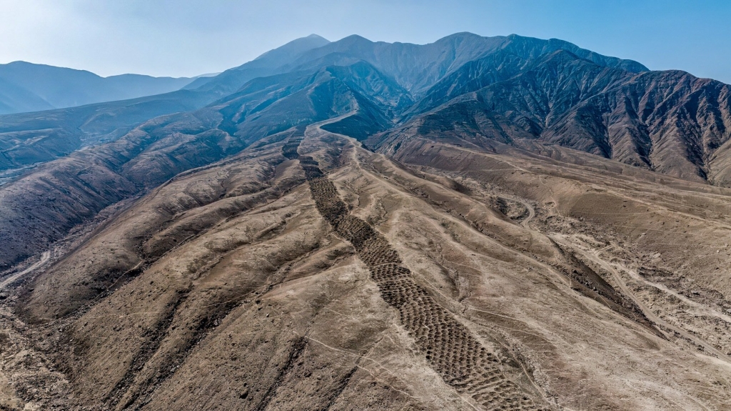
High above the rocky slopes of Monte Sierpe in southern Peru, thousands of perfect circular holes stretch across the landscape like a dotted scar. Our friends of Archaeology.org told us about how locals call it the “Band of Holes.” For decades, archaeologists and adventurers have puzzled over what these strange formations meant. Now, thanks to drone mapping, we might finally be getting some answers.
A Puzzle in the Desert
The Band of Holes sits in Peru’s Pisco Valley, carved into a volcanic ridge that snakes across the terrain for nearly a mile. Each hole is about three feet deep and two feet wide, and together they form more than 5,000 depressions aligned in distinct rows.
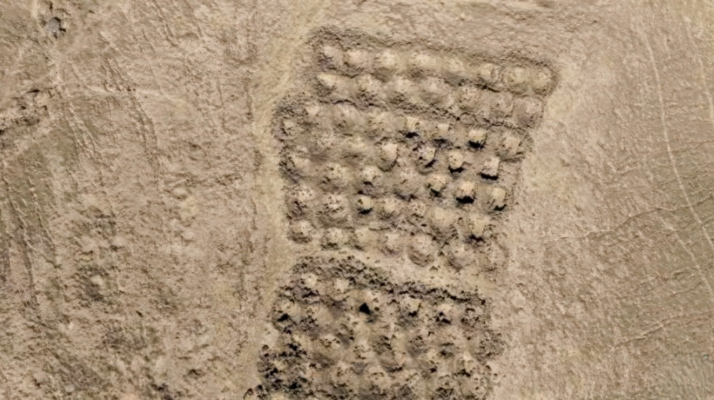
The mystery has fueled wild theories for years. Some claimed the holes were alien landing markers. Others thought they were ancient graves, military traps, or even an astronomical calendar. None of those ideas ever had strong evidence to back them up.
Drones to the Rescue
A research team from the University of Sydney led by digital archaeologist Dr. Jacob Bongers, has used the DJI Mavic 3E drone to finally map the Band of Holes in unprecedented detail.
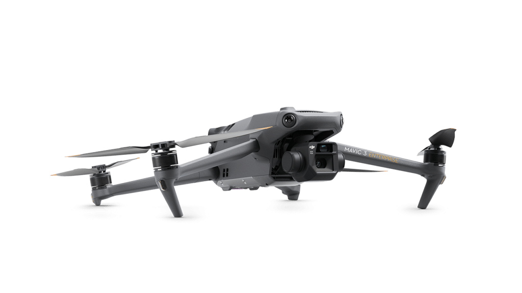
By flying drones over Monte Sierpe, they captured thousands of high-resolution images, which were processed into detailed 2D and 3D models.
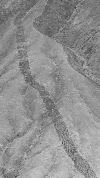
The result? A full digital reconstruction of the site, revealing patterns and alignments that ground surveys had missed for decades. The drones made it possible to count, measure, and analyze every section of the monument accurately.
The “Landscape Khipu” Discovery
What the team found was more than just geometry. The arrangement of the holes mirrors the pattern of a traditional Inca khipu, a system of knotted cords used for recordkeeping and accounting.
One khipu discovered in the same valley has a nearly identical structure. That’s what led Bongers and his team to propose a bold new idea — the Band of Holes might be a giant, physical version of a khipu. In other words, an accounting system carved directly into the land.
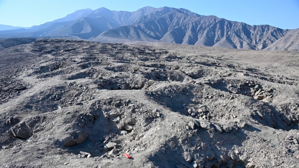
Soil samples added even more depth to the story. Researchers found traces of maize pollen and fragments from reeds used in basket weaving. This suggests that people once brought goods like maize to the site in baskets, perhaps as part of a trading or tribute system.
From Market to Monument
The findings point to two main phases of use: The first belongs to the pre-Inca Chincha Kingdom, a powerful coastal civilization that thrived between AD 1000 and 1400. Bongers believes the holes served as a trade hub, where merchants, farmers, and fisherfolk met to exchange goods. Its location between the mountains and the coast made it a perfect central marketplace.
Later, when the Inca Empire expanded into the region, they likely repurposed the site. The Inca were famous for turning existing sacred or practical spaces into administrative centers. Under their control, the Band of Holes could have become a kind of “landscape ledger,” a massive open-air accounting system where each hole represented a unit of labor, tribute, or stored goods. You could think of it as an ancient spreadsheet in stone.
Questions That Still Remain
Even with these new discoveries, many mysteries remain. Why does this kind of monument appear only here and not elsewhere in the Andes? Was the Pisco Valley a unique economic or ritual center? And how exactly did people use the site? Were the baskets buried for long periods, or were the holes more symbolic? Without written records or more artifacts, some of these questions might stay unanswered for years.
Still, what’s clear is that drones have changed the game for archaeology in the Andes. By giving scientists a literal new angle on ancient landscapes, they’re helping decode stories that were invisible from the ground.
DroneXL’s Take
The Band of Holes has long been one of those mysteries that made you wonder if aliens had a hand in it. Now, drones have turned that sci-fi mystery into a fascinating story about ancient innovation.
Instead of little green men, it was local traders, farmers, and Inca accountants who left their mark in the desert. And thanks to drone mapping, we’re finally reading their code — one hole at a time.
Photo credit: C. Stanish
