
SkyeBrowse Adds Roof Measurements and Damage Screening to Drone Models
SkyeBrowse’s November 5 update adds tools for roof inspections, map exports and surveying. The roof feature uses photos from a drone flight and a 3D model to bring measurements, potential damage and report preparation into one workflow.
Reviewing possible damage
The software can mark areas in flight photos that may show hail or wind damage. A reviewer can approve or reject each finding before it goes into a PDF report. The markings are a screening tool. They give an inspector places to check and images to examine more closely before making a finding.
Map and survey updates
The same release introduces map exports for supported 2D products and gives surveyors a way to correct models against ground control points. Independent checkpoints can be kept separate when assessing the accuracy of the corrected model.
SkyeBrowse lists Roof Damage Analysis on Pro models and applicable agency plans. The vendor’s roof product page lists per-model pricing and annual volume pricing. Buyers can check the current terms and test the workflow on a representative property.
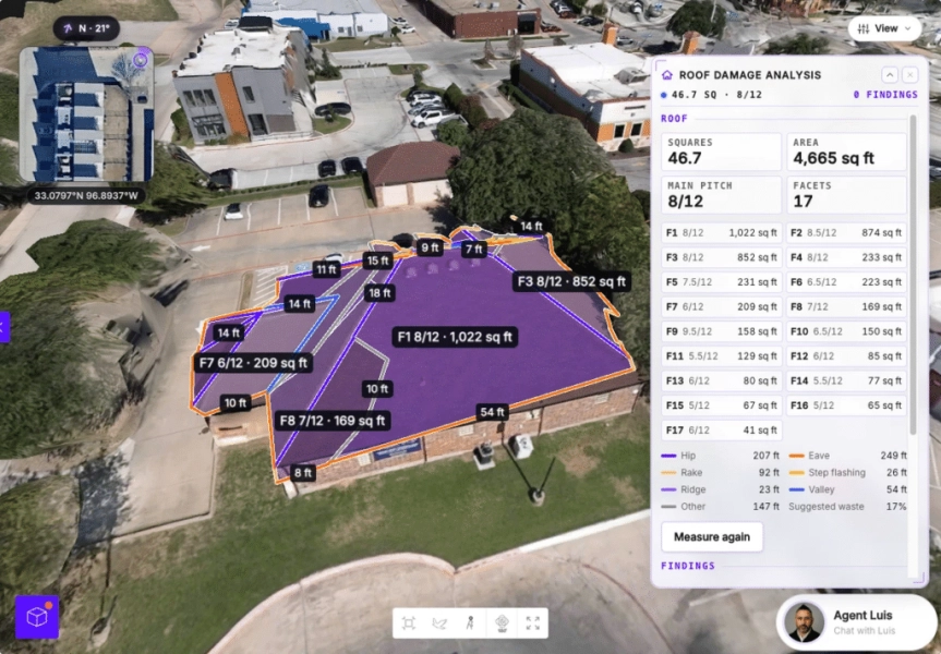
Source: SkyeBrowse’s November release notes.